
Difficulty: Class 2 Difficult
Exposure: None
Summit: 14,047 feet
Elevation Gain: 3,200 feet
Roundtrip: 7.00 miles
Trailhead: Culebra gate at 10,850’, overnight in San Luis
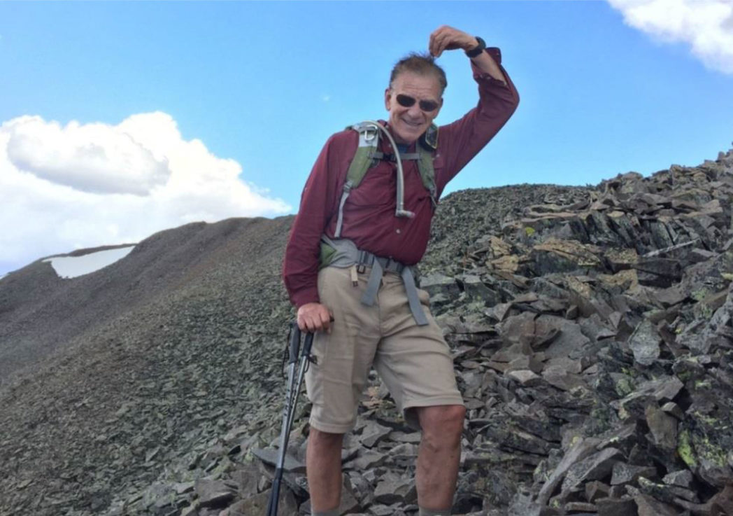
Climbers: Rick Crandall, Shan Stuart, Laura Welch July 1, 2012
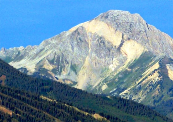
Culebra Peak is in its own little sub-range of the Sangre de Cristo Mountains. It is the only fourteener on private land (imagine buying a ranch and having a fourteener in your back yard!)
We drove 4 ½ hours from Aspen to the historic town of San Luis (pop.: 740, 88% Hispanic), which is the oldest town in Colorado, formed in 1851 when it and the Culebra range were still in the Territory of New Mexico. In 1861 when the Territory of Colorado was formed, using latitude and longitude lines (making Colorado basically square) Culebra became part of Colorado, and New Mexico lost what would have been its only fourteener.
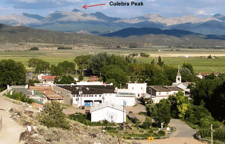
San Luis, Colorado
“The Oldest Town in Colorado”
A striking feature of San Luis is the church (La Capila de Todos Los Santos) atop the nearby hill. The one mile uphill walk is a shrine called the Stations of the Cross, which are amazing bronze statues depicting the last hours of Christ’s life. The shrine was dedicated in 1990, created by local sculptor Huberto Maestas.
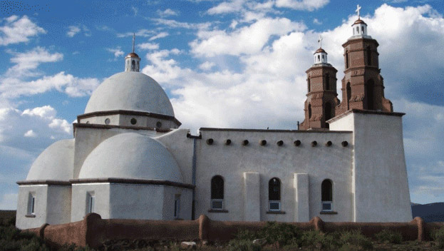
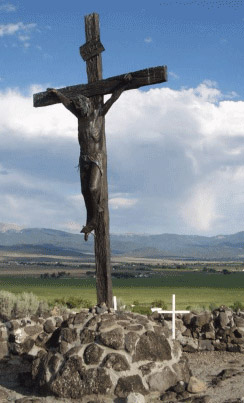
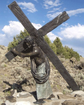
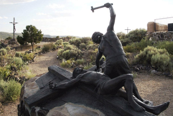
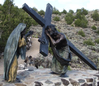
The Chapel of All Saints on the hill above San Luis and a sampling of the 15 bronzes dotting the pathway leading up to the church, called the Stations of the Cross.
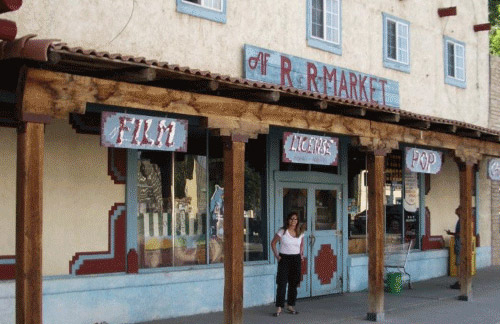
Anyway, this story is about a fourteener climb. We overnighted in San Luis and were up at 4:45am. The owner of Culebra Peak, a Texas rancher, only lets 25 people per day up the mountain, charges a $100 fee and you must be at the ranch at 6 am or you miss your chance.
So we paid our fee, and started up the first part of the day at 6:30.
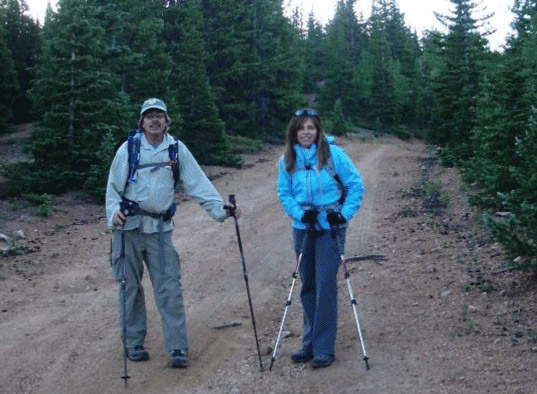
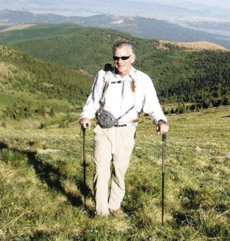
Shan and Laura ready to head up.
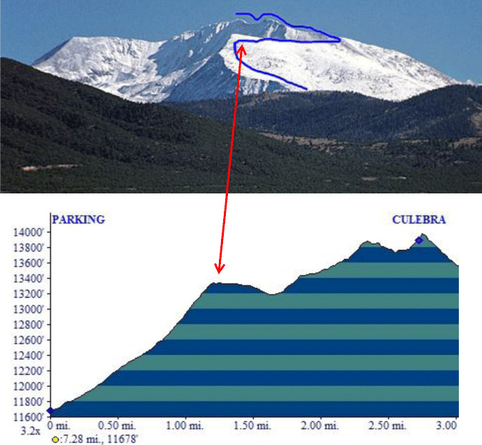
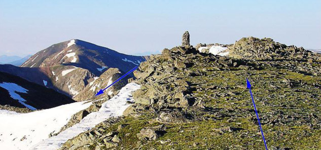
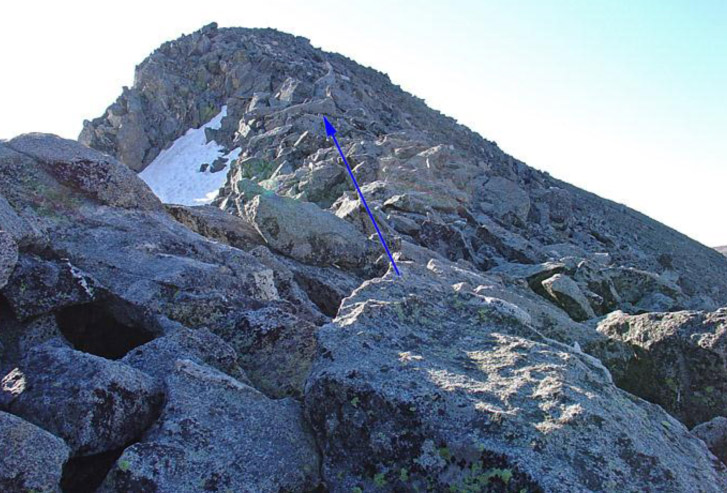
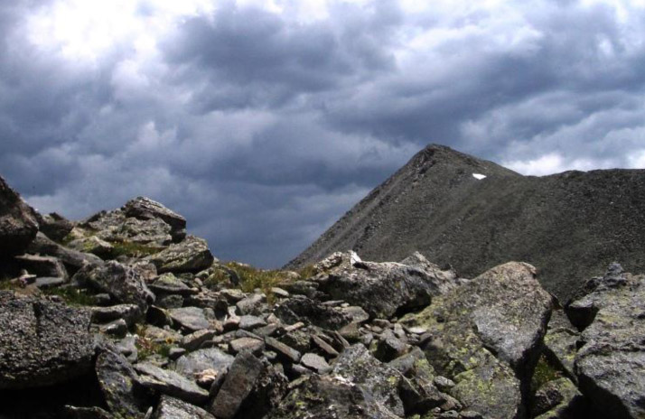
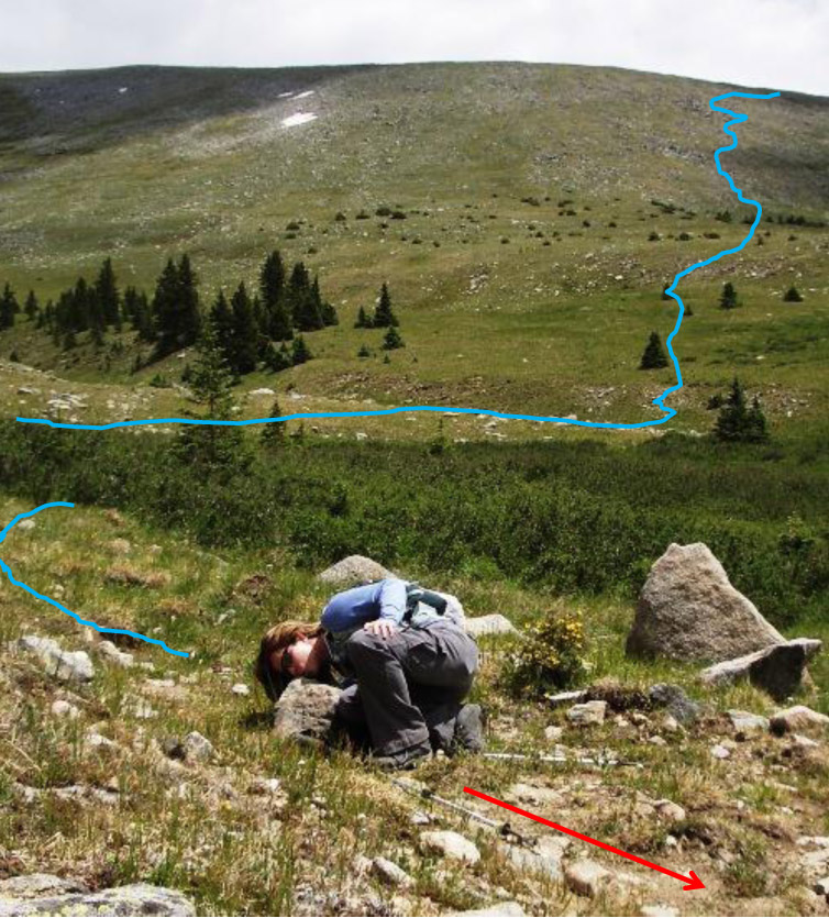
Most of the climb is shown in the stock photo with blue line added. The elevation diagram shows the steepness leading up to the ridge (a wakeup at 7am!) and the two down-climbs through rock shown next.
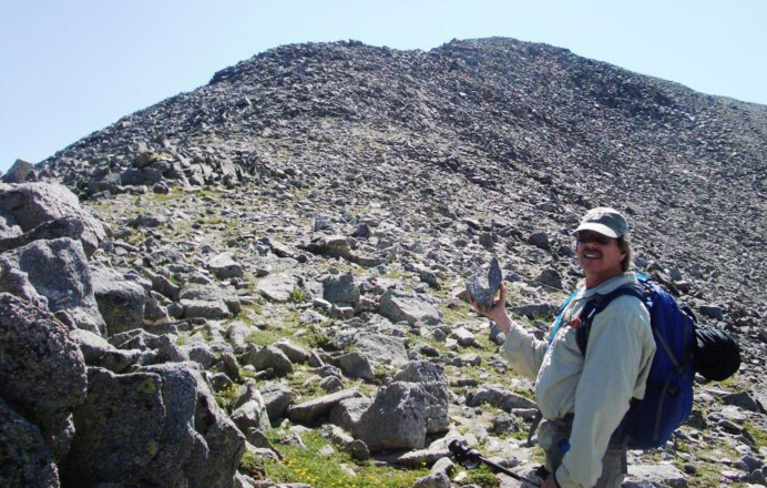
Rick trekking up grassy slope.
Nearing the ridge, which cairn to follow?
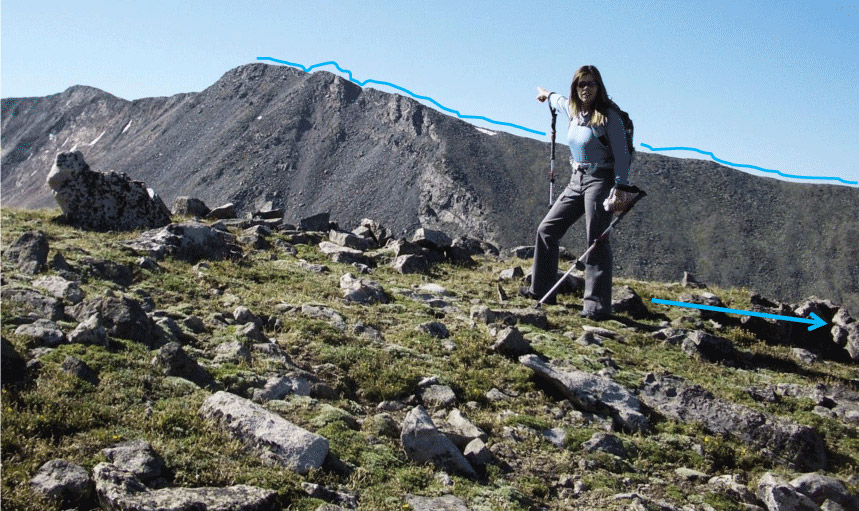
Laura at the ridge, still a long way to go, a ridge walk to the right and then around to the left through rocks, false peak and summit.
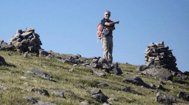
Shan pointing the way with his “finger rock.” The beginning of the Class 2 rocks.
Route finding was occasionally a challenge as trail segments disappeared at times in the rocks, The biggest cairn I’ve ever seen guided us for a while …here we’re at 13,350’ headed towards some rock scrambling.
Laura at the cairn: “Size Matters!”
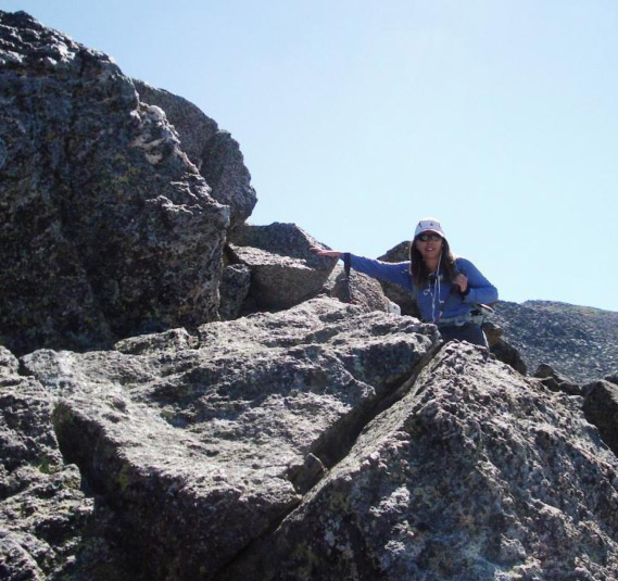
Some moderate Class 3 rock climbing.
More fun than that steep grassy slope.
Near 13,800’ approaching the false summit.
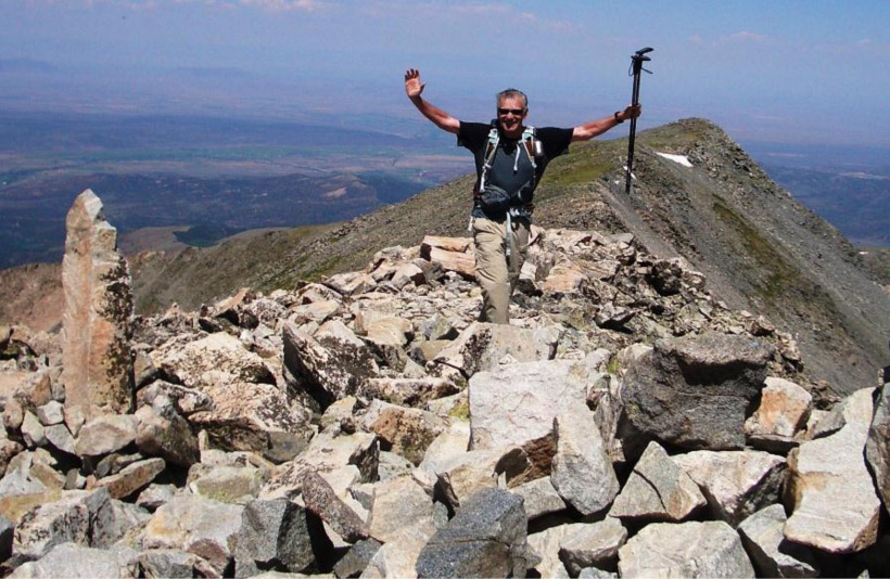
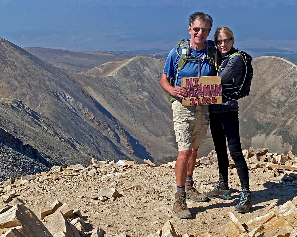
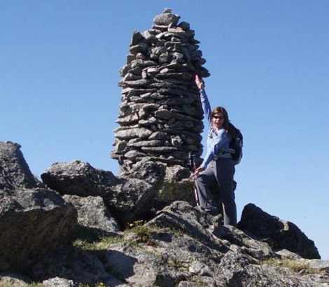
Summit Culebra Peak 14,047’ July 1, 2012 11:09 am
4 ½ hours from trailhead, not fast but it’s our first fourteener of the season.
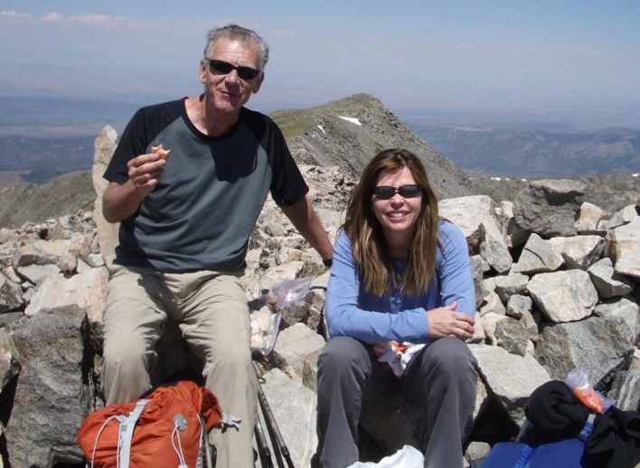
Rick enjoying Laura’s cooked salmon – gourmet eating on a summit!
The Marmots on this summit are really bold. We met another climber who told us to watch out for our hiking sticks – a Marmot ran off with one of his earlier!
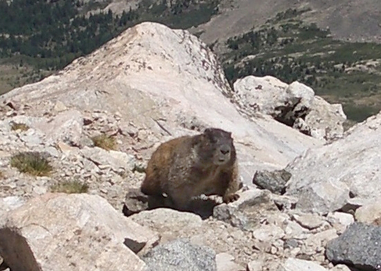
Another Marmot thief?
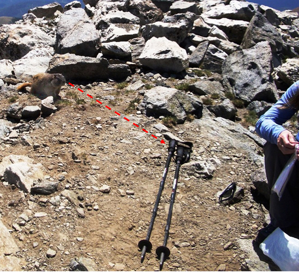
He’s got Laura’s sticks firmly in his line of view!
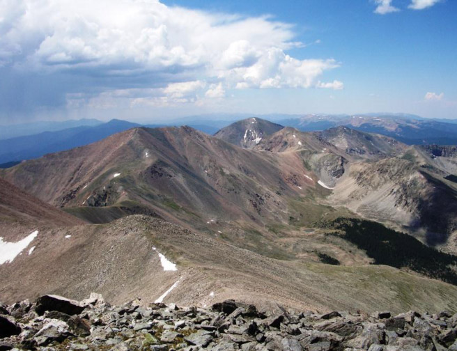
Great views from the summit – New Mexico is just beyond that peak. Is that some weather to the East?
Oh, no problem, it’s not coming our way.
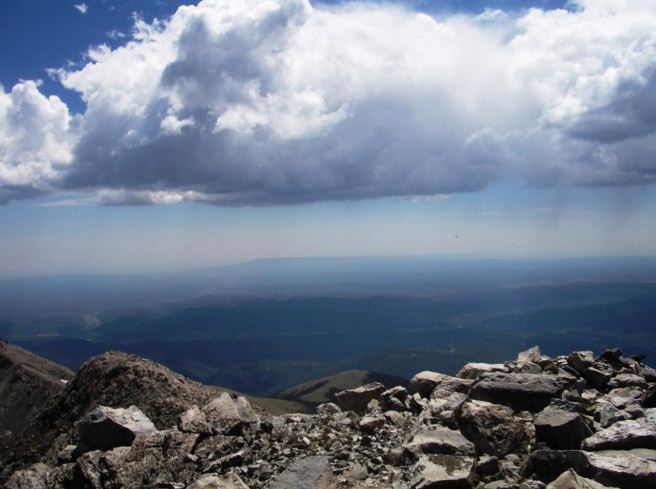
Hmmm. More cloud buildup to the South – start of the Arizona monsoon season.
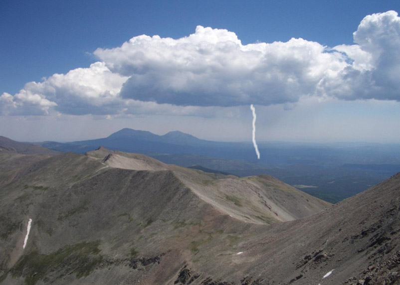
Ouch – that is coming our way and we have a long ridge with several lesser summits to get across before we can descend away from electrical exposure.
Part way down the ridge – that’s Culebra’s false summit we just came from. We decided to find an old Roach’s (old fourteener book) route down through Class 3 rocks to get down faster.
We never found his route but I had my new GPS with “track-back” feature telling us where our original route was – so we were never really lost – “rock-whacking” down a long way.
Found the trail – we’re all happy, but Laura showing some emotion to a rock on the trail.
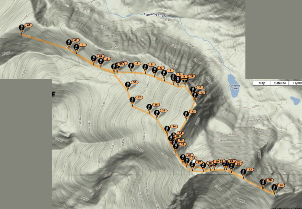
Entire track with markers every 10 minutes. Starting at the lower trailhead on left, hiking up to the ridge at #7,8, 9; over to the false peak at #17, over to the summit at #25, then back over the false summit and we diverted at #34 rock-whacking down and eventually having to re-connect with the original route, and then back to the car at #42.
Back at the car at the lower trailhead at 2:30pm , eight hours (including lunch and getting lost) . Just 4 miles of off-roading down and we were on our way back to Aspen.
What a great way to start the climbing season!