
Difficulty: Class 2
Exposure: None
Summit: 14,048 feet
Elevation Gain: 2,600 feet
Roundtrip: 6 miles
Trailhead: American Basin at 11,500’
Overnight: Lake City
Climbers: Rick Crandall, Laura Welch June 29, 2014
Handies Peak was chosen as a first fourteener of the 2014 climbing season. June is an early start for climbing this year as Colorado had a welcomed “big snow” winter and there was still plenty up there at higher altitudes. The weather was forecasting clear, so friend Laura Welch (we’ve done 24 fourteeners together) and I headed to overnight in Lake City the night before.
Lake City is an 1870’s Colorado mining town surrounded by 14,000 foot peaks. While there was some mining, production was meager and so there never was a boom period in Lake City. Hence there never were a lot of bars or red-light districts. Instead, churches prospered. Many of Lake City’s original buildings have been restored making it a colorful stop for travelers. Today Lake City is known as “the snowmobile capitol of the world” in the winter and in summer it hosts fishermen, climbers and campers.

Laura near the sweets

Rick went for the bar, the “Restless Spirits Saloon, 100 years old in Lake City.
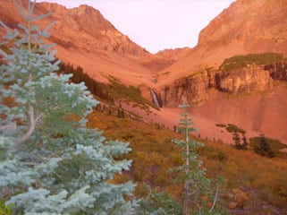
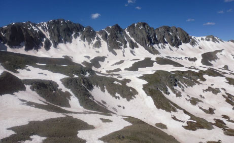
Handies Peak is in Southwest Colorado in the San Juan Range, the largest and most beautiful mountain range in Colorado. The San Juans were created by volcanic activity 30 million years ago. What remains are 13 “calderas” which are collapsed volcanoes resulting in fantastic arrays of peaks, one of which surrounds the American Basin, our start for the day.
Getting to the trailhead in American Basin is a rough ride – 20 miles from Lake City, of which the last 8 or so miles are quite rough, rocky and at times narrow-ledged in character. We used Laura’s Toyota FJ for its higher clearance and bounced our way over boulders, across a stream and arrived at the trailhead at about 8:55am.
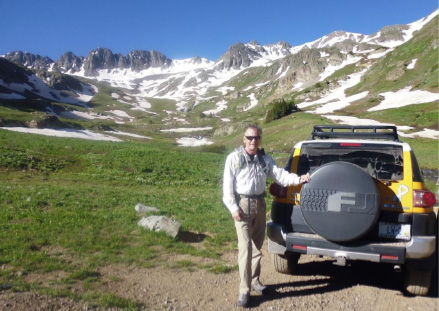
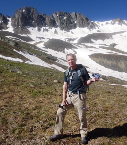
Rick, after driving the FJ to the trailhead in American Basin with the gorgeous caldera in the background
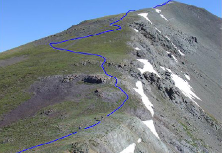
The route is normally a clear path, at times steep and at times loose, but this early in the year we knew we were headed into snow.
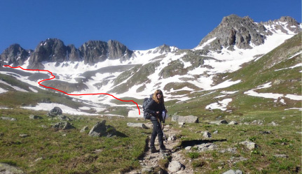
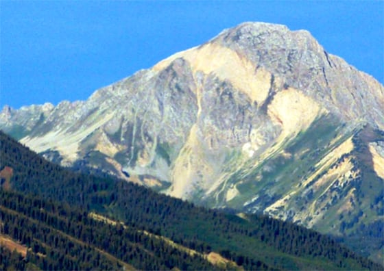
Laura leading on the path which was clear and open for the first third of the way, but we needed to head towards the cliffs behind her and off to the left. Handies is not yet visible.
And into the snow we went – crossing 11 snowfields.
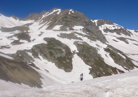
It was an amazing “Colorado blue-sky day” all day.
The wind, however, was fierce for the final 800’ vertical – so much so that it felt like pushing a mattress uphill. At one point on the final ridge to the summit, Laura raised a foot to move forward and was almost taken off her feet altogether by the wind.
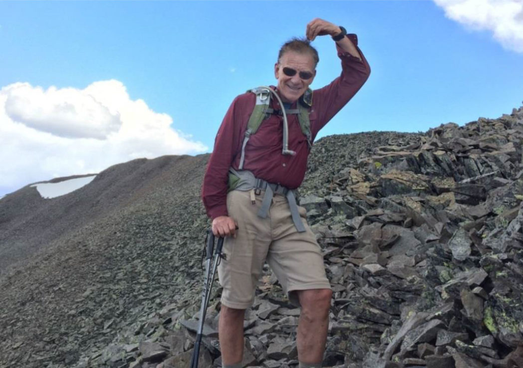
The final approach at 13,500’– no snow there, but high winds made it a trudge.
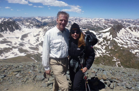
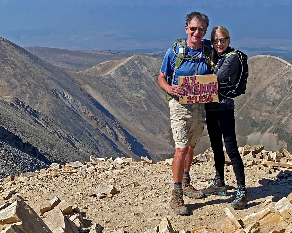
Summit Handies Peak, 14,058’ at 11:40am, 2hrs, 45 min. from trailhead (we took it easy 🙂 )
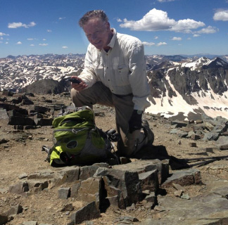
Rick sending Spot satellite message from the summit – which shows up in email as below.
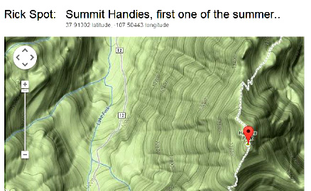
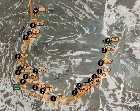
Our route to the summit, tracked by SPOT GPS (1 – 17 is up; 18 – 29 is down)
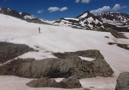
Time to head down – Laura trekking across one of the snowfields …
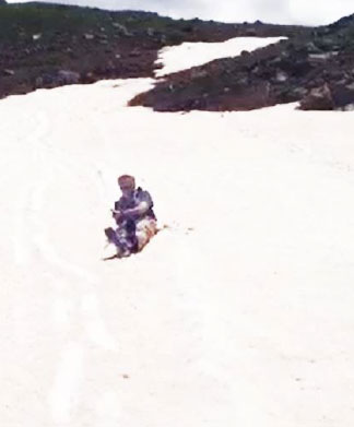
… But Rick liked his way better! Glissading.
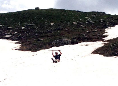
As it got steeper – using the “L” handles on the hiking sticks as a speed arrester, digging them into the snow (normally one would have an ice ax for that).
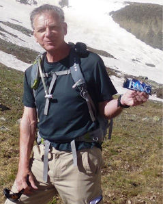
Getting to lower reaches – Rick gets some protein from a VPX Sports Bang Bar …
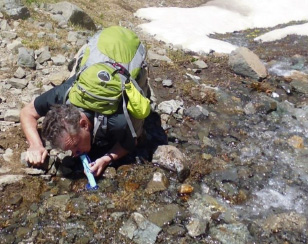
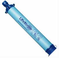
… and then decided to try his new “LifeStraw” – an amazing device every hiker and climber should have – it weighs nothing, has a filter inside good for something like 1000 drinks and is great in a pinch if you run out of water.
So that’s our first 14er adventure of the summer – it was number 43 for me – maybe one more “moderate” one, and then they get a lot more difficult … stay tuned.